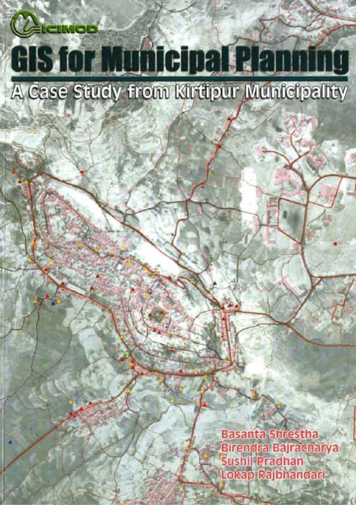
This publication presents the background, details, and results of a case study of Kirtipur Municipality, in Kathmandu District, Nepal, prepared as a practical example showing the potential for using geographic information systems (GIS) as a tool to support municipal planning and decision-making processes. The general information requirements for municipal planning are discussed, and the design and development of the database described. Base data sets were prepared, verified, and supplemented with information from a high-resolution satellite image and aerial photographs. The results are presented in the form of thematic maps, ward maps, and maps of land use and land cover change. The GIS approach offers major advantages over static mapping. The present limitations tend to reflect organisational challenges more than technical difficulties and the study underlines the need to develop the capacities of municipalities. The book should prove useful to all those interested in applying GIS in urban planning, as well as to those interested in the process of urbanisation and urban planning per se in Nepal. The companion interactive multi-media CD-Rom contains a pdf file of the publication together with all the data sets, associated metadata, maps, and reports used in the study, integrated with a simple GIS functionality that allows the user to explore the use of GIS and overlay different combinations of attributes.