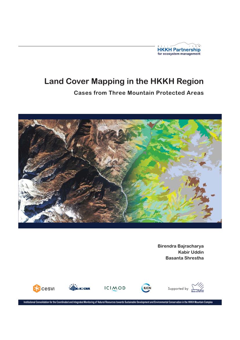
Land cover is a fundamental variable that impacts and links many parts of the social and physical environments, and is used as baseline information for planning, monitoring and evaluating development interventions. The project adopted a multi-scale approach in land cover mapping that will be useful in understanding the linkages at different scales. The project adopted the approach of object-based image analysis for land cover classification. Object-based image analysis is coming up as a promising methodology in automatic information extraction and gives significantly better classification results.