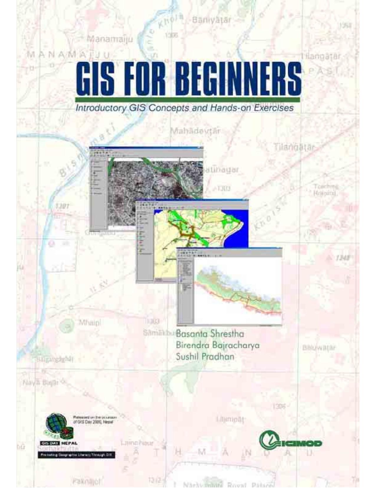
This book was first published in English in 2001. It is divided into two parts. Part 1 explains concepts such as Thinking Spatially, Maps, GIS, Data Capture, Remote Sensing, Global Positioning System, Spatial Analysis, and Presenting Results. Part 2 offers hands-on exercises with step-by-step instructions for Understanding Digital Maps, Finding Answers with Digital Maps, Telling Stories with Digital Maps, and Building a Digital Map. All the exercises are based on ESRI-Arc Explorer freeware software using local databases.The publication provides introductory reading material suitable for a wide-ranging audience, and together with the CD-ROM (available in English only) can be used as the basis for a short training course.