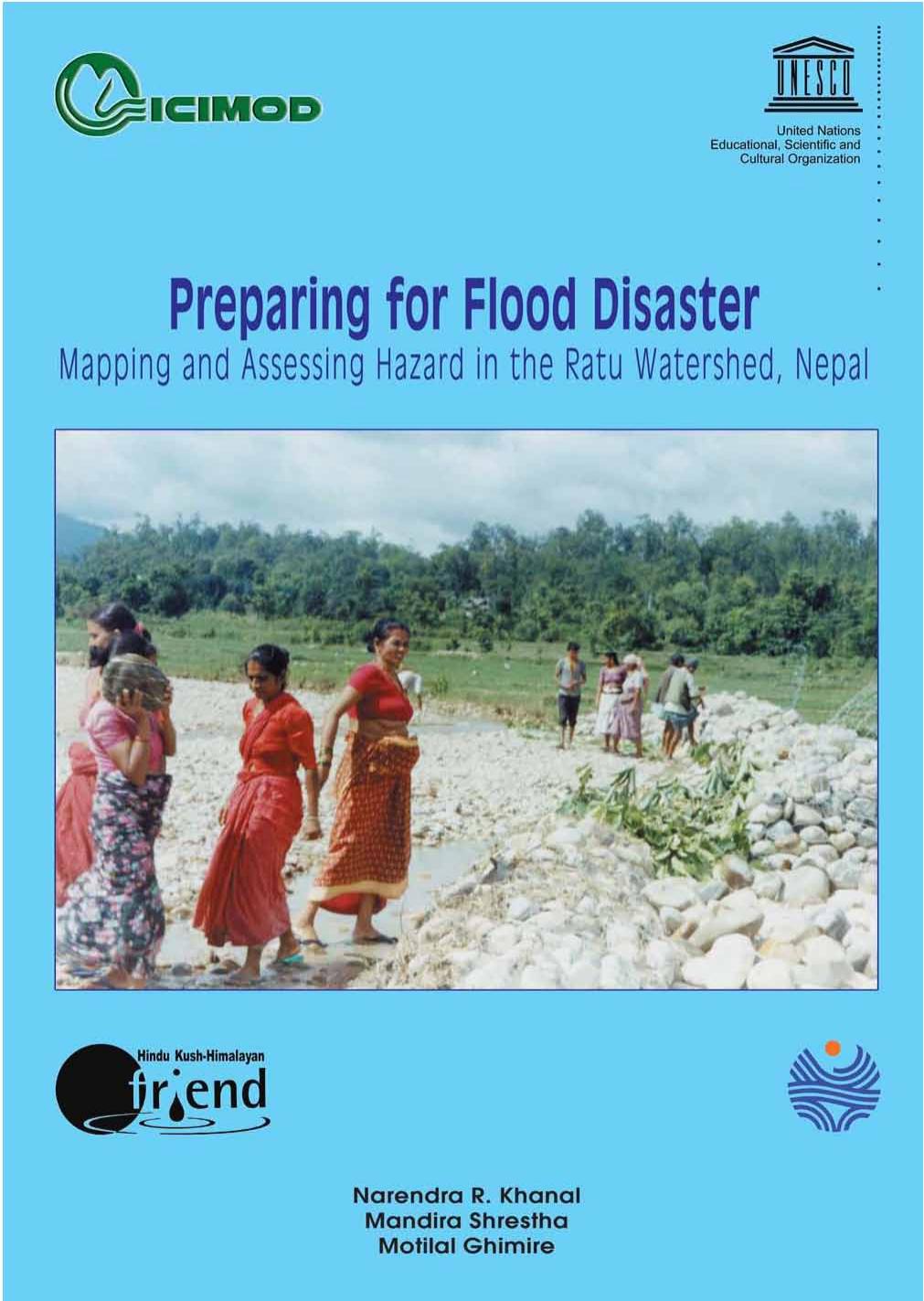
The Ratu Khola watershed employs flood-hazard mapping to study flood hazard, risk, and vulnerability in a watershed unit. The study combined three approaches: a geomorphic approach using GIS and remote sensing (RS); measurement of rainfall-runoff processes using the Hydrological Engineering Corporation’s River System Analysis (HEC-RAS) model; and social flood hazard mapping based on community experiences. Technologies such as GIS, RS, and HEC-RAS have made flood hazard mapping more accurate and less time-consuming and laborious in recent times. As part of the study, an attempt was also made to develop a community-based early warning system and to identify safe evacuation routes and areas for safe shelter to improve local capacity to respond to and manage flood hazards. Through the study and the publication of its findings, ICIMOD and UNESCO-Delhi, which jointly supported the study, hope not only to save lives and livelihoods in the Ratu Khola, but also to provide a basis for replicating these efforts throughout the Himalayan region.