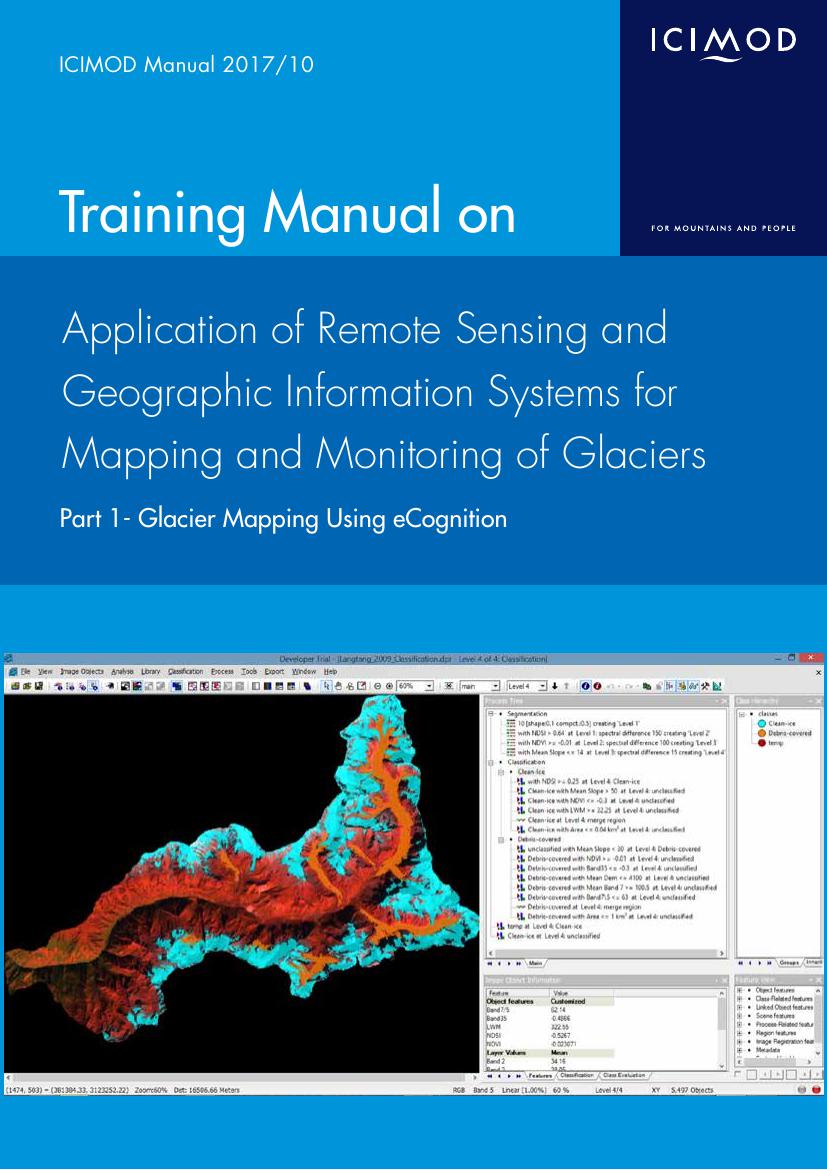
This manual provides detailed information on a customized methodology for glacier mapping using a remote sensing based semi-automatic technique for quick delivery. Based on this methodology, studies on the status of the glaciers of the Hindu Kush Himalaya and decadal glacier change since the 1980s have been carried out in selected areas and basins. The data and results derived from this methodology have been published in several journals, book chapters, and reports. A summary of the results and publications is presented here, and in global level glacier mapping initiatives. Reviews of the methodologies adopted by global initiatives like World Glacier Monitoring Service (WGMS), Global Land Ice Measurement from Space (GLIMS), and GlobGlacier are also presented in this manual. The methodology can be applied with little knowledge of remote sensing and geographic information systems. This is true not only for glacier mapping, but also for mapping the earth’s physical features.
The methodology relies on the “eCognition” software, and post processing database management is done in an ArcGIS environment. A short introductory tour of the software is included here to facilitate the beginner’s understanding of image processing and data handling.