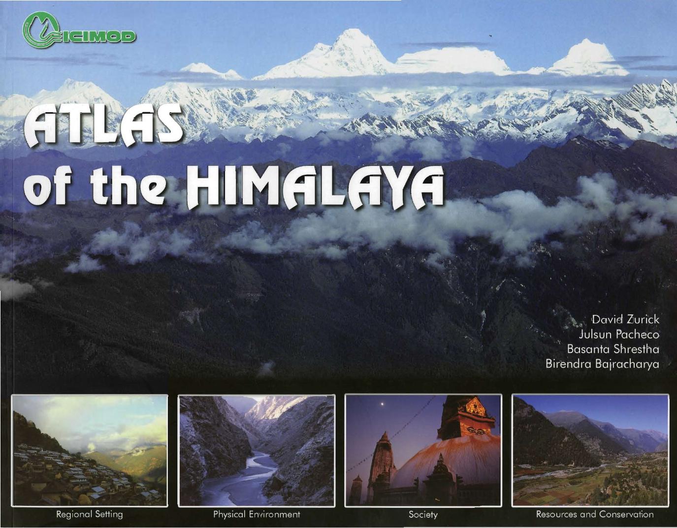
The Himalaya comprises a continuous chain of high mountain ranges that stretches from Afghanistan in the west to China and Myanmar in the east and is the source of the great rivers of Asia. The extreme landscape and weather conditions are reflected in a vast cultural and biological diversity. The region directly supports some 150 million people, and impacts on 500 million more downstream. The Atlas of the Himalaya was prepared to support understanding of Himalayan geography and development activities in the region. It is the outcome of a collaboration between the University of Eastern Kentucky, USA, and ICIMOD and is designed for use by researchers and practitioners, as well as those interested in the region in general. The Atlas covers the main range from the Indus in the west to the Brahmaputra in the east. The maps are presented without international boundaries and are complemented by textual descriptions and photographs. The Atlas provides information on the characteristics of physical geography, geology, climate, and natural hazards, as well as sociocultural and historical descriptions. It highlights the Himalaya as an important resource base and underscores the need for conservation of the mountain ecosystem to go hand in hand with development.This book is for regional distribution only.