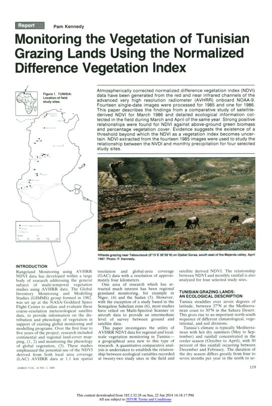
Atmospherically correct normalized difference vegetation index (NDVI) data have been generated from the red and near infrared channels of the advanced very high resolution radiometer (AVHRR) onboard NOAA-9. Fourteen single-date images were processed for 1985 and one for 1986. This paper describes the findings from a comparative study of satellite-derived NDVI for March 1986 and detailed ecological information collected in the field during March and April of the same year. Strong positive relationships were found for NDVI against above-ground green biomass and percentage vegetation cover. Evidence suggests the existence of a threshold beyond which the NDVI as a vegetation index becomes uncertain. NDVI extracted from the fourteen 1985 images were used to study the relationship between the NVDI and monthly precipitation for four selected study sites.