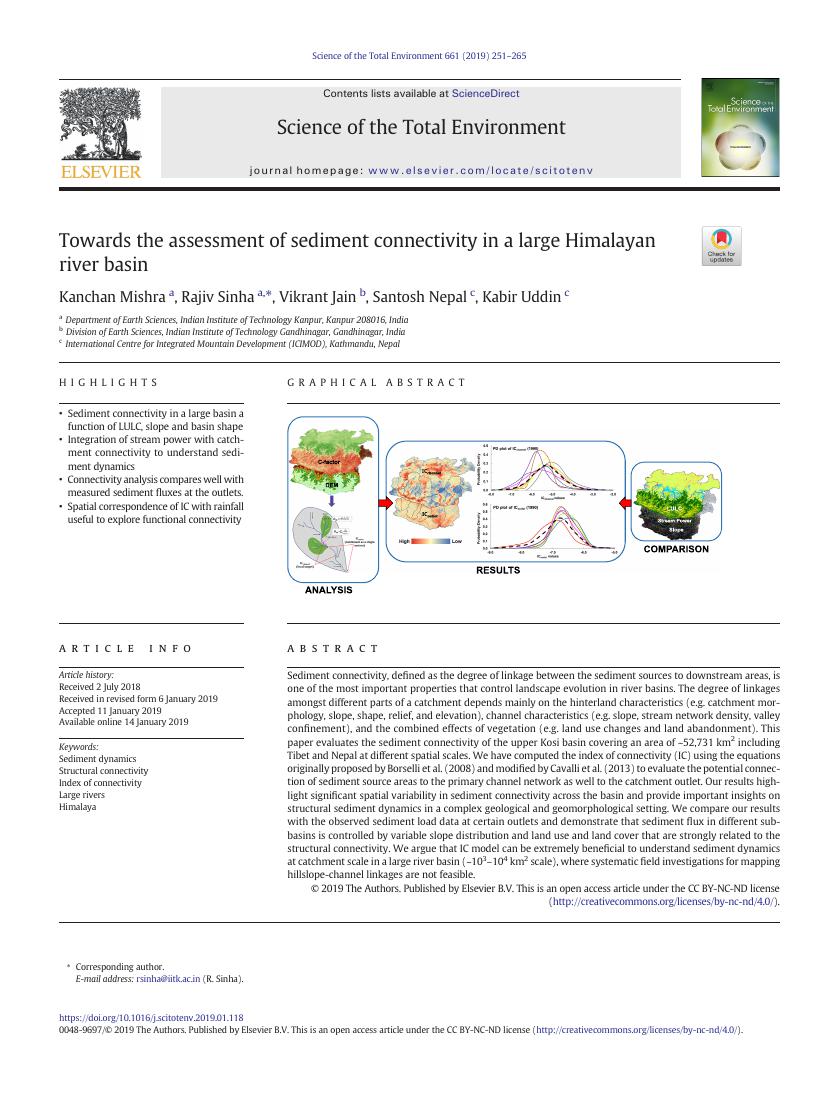
Sediment connectivity, defined as the degree of linkage between the sediment sources to downstream areas, is one of the most important properties that control landscape evolution in river basins. The degree of linkages amongst different parts of a catchment depends mainly on the hinterland characteristics (e.g. catchment morphology, slope, shape, relief, and elevation), channel characteristics (e.g. slope, stream network density, valley confinement), and the combined effects of vegetation (e.g. land use changes and land abandonment). This paper evaluates the sediment connectivity of the upper Kosi basin covering an area of ~52,731 km2 including Tibet and Nepal at different spatial scales. We have computed the index of connectivity (IC) using the equations originally proposed by Borselli et al. (2008) and modified by Cavalli et al. (2013) to evaluate the potential connection of sediment source areas to the primary channel network as well to the catchment outlet. Our results highlight significant spatial variability in sediment connectivity across the basin and provide important insights on structural sediment dynamics in a complex geological and geomorphological setting. We compare our results with the observed sediment load data at certain outlets and demonstrate that sediment flux in different sub-basins is controlled by variable slope distribution and land use and land cover that are strongly related to the structural connectivity. We argue that IC model can be extremely beneficial to understand sediment dynamics at catchment scale in a large river basin (~103–104 km2 scale), where systematic field investigations for mapping hillslope-channel linkages are not feasible.