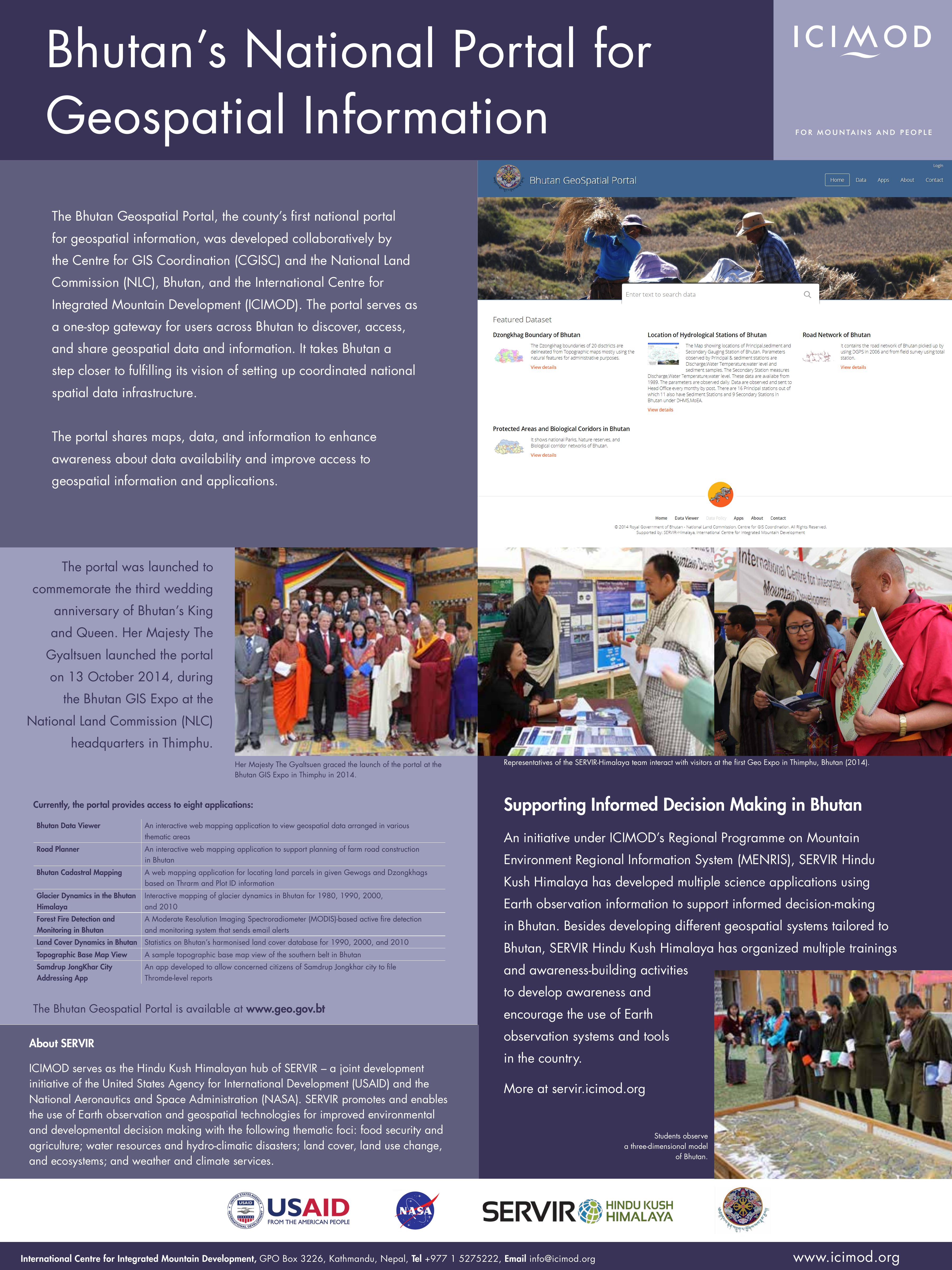
The Bhutan Geospatial Portal, the county’s first national portal for geospatial information, was developed collaboratively by the Centre for GIS Coordination (CGISC) and the National Land Commission (NLC), Bhutan, and the International Centre for Integrated Mountain Development (ICIMOD). The portal serves as a one-stop gateway for users across Bhutan to discover, access, and share geospatial data and information. It takes Bhutan a step closer to fulfilling its vision of setting up coordinated national spatial data infrastructure.