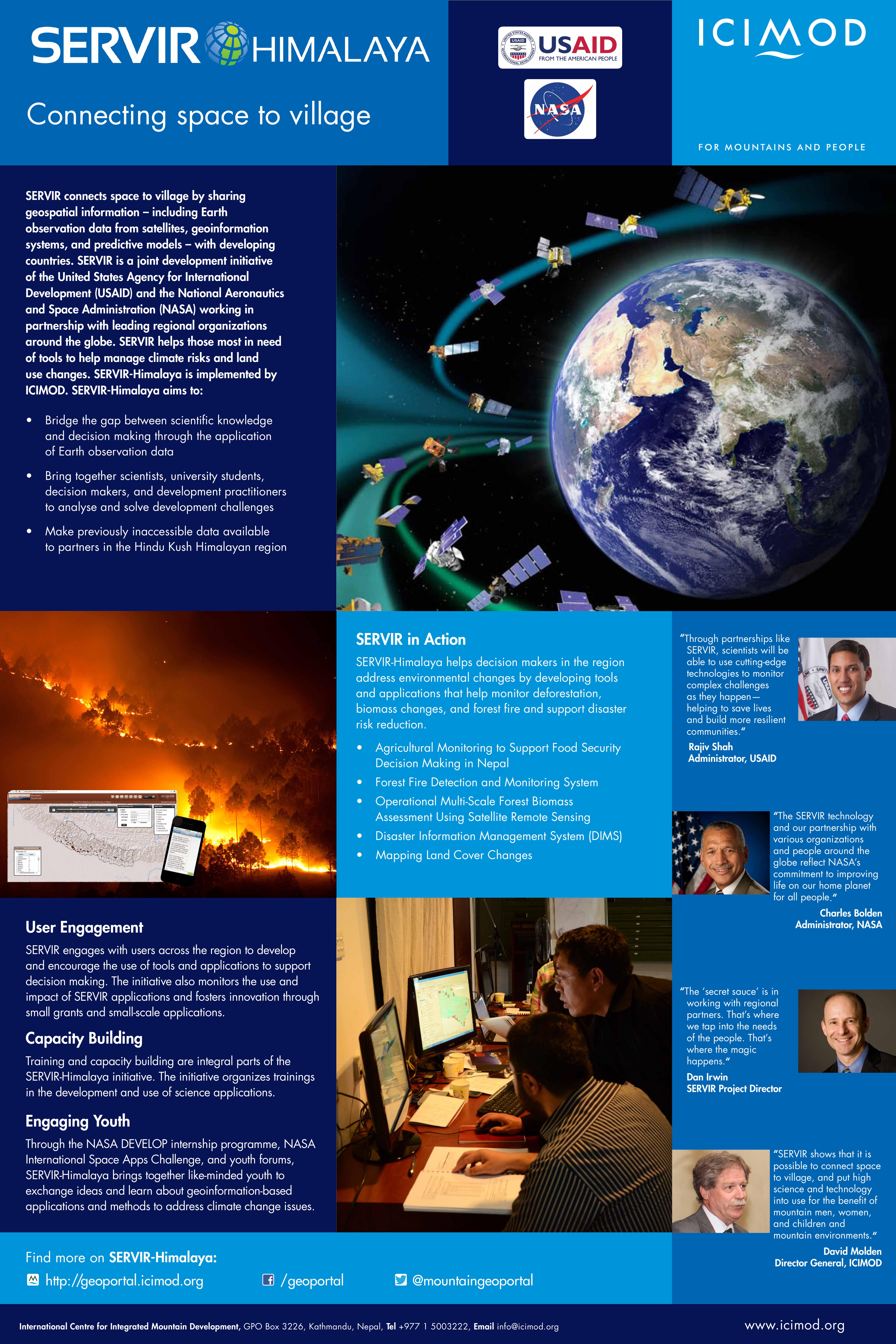
SERVIR connects space to village by sharing geospatial information – including Earth observation data from satellites, geoinformation systems, and predictive models – with developing countries. SERVIR is a joint development initiative of the United States Agency for International Development (USAID) and the National Aeronautics and Space Administration (NASA) working in partnership with leading regional organizations around the globe. SERVIR helps those most in need of tools to help manage climate risks and land use changes. SERVIR-Himalaya is implemented by ICIMOD.