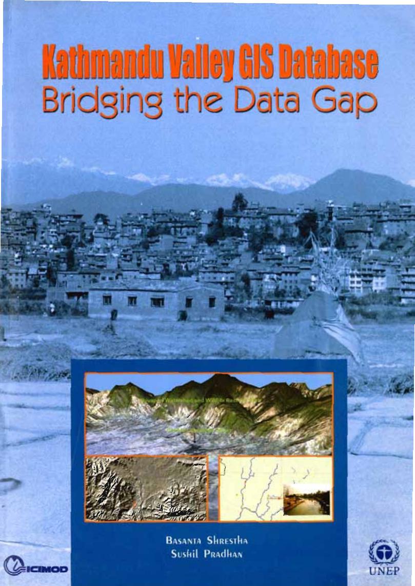
Recently, there has been a continuing growth in the use of GIS and related technologies by many organisations engaged in planning and management of the Kathmandu Valley. As a result, the demand for spatial data of the Valley for government use as well as for use by research and development organisations has grown. This study is about attempts to build a comprehensive GIS Database of the Kathmandu Valley as a means of bridging important data gaps. The study uses the maps available and integrates them with satellite images. It is hoped that this database will improve information on the Kathmandu Valley and assist different stakeholders engaged in planning and management of services.