1997
  • ICIMOD publication

Share

1,003 Views
Generated with Avocode. icon 1 Mask color swatch
143 Downloads

Geographic Information Systems and Remotesensing Technologies for Mountain Development.

  • Pradhan, P. S.
  • Summary
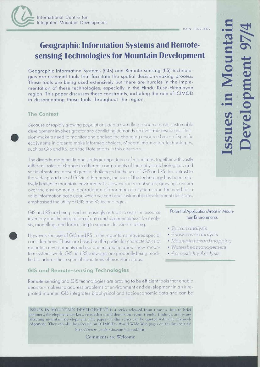
Geographic Information Systems(GIS) and Remote-sensing (RS) Technologies are essential tools that facilitate the spatial decision- making process. These tools are being used extensively in the Hindu Kush- Himalayan region. This paper discusses these constraints, including the role of ICIMOD in disseminating these tools throughout the region.
  • Pages:
    6
  • Language:
    English
  • Published Year:
    1997
  • Publisher Name:
    ICIMOD
  • Publisher Place:
    Kathmandu