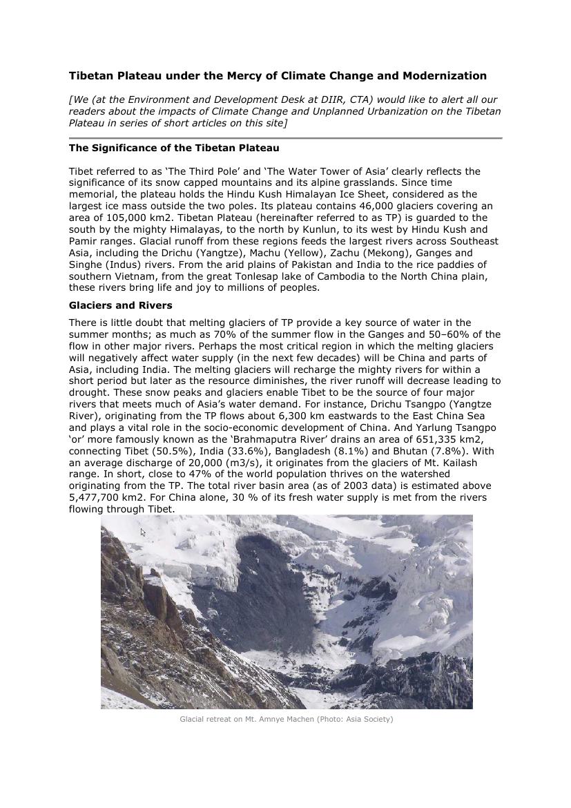
There is little doubt that melting glaciers of Tibetan Plateau provide a key source of water in the summer months providing 70 percent of the summer flow in the Ganges and 50-60 percent of the flow in other major rivers. Perhaps the most critical region in which the melting glaciers will negatively affect water will be China and parts of Asia, including India. The melting glaciers will recharge the mighty rivers for within a short period but later as the resource diminishes, the river runoff will decrease leading to drought. These snow peaks and glaciers enable Tibet to be the source of four major rivers that meets much of Asia's water demand. For instance, Drichu Tsangpo (Yangtze River), originating from the Tibetan Plateau flows about 6,300 kilometres eastwards to the East China Sea and plays a vital role in the socio-economic development of China. The Yarlung Tsangpo, most famously known as the 'Brahmaputra River' drains an area of 651,335 square kilometres, connecting Tibet (50.5 percent), India (33.6 percent), Bangladesh (8.1 percent) and Bhutan (7.8 percent). With an average discharge of 20,000 (m3/s), it originates from the glaciers of the Mt. Kailash range. In short, close to 47 percent of the world population thrives on the watershed originating from the Tibetan Plateau. The total river basin is estimated above 5,477,700 square kilometres. For China alone, 30 percent of its fresh water supply is met from the rivers flowing through Tibet.