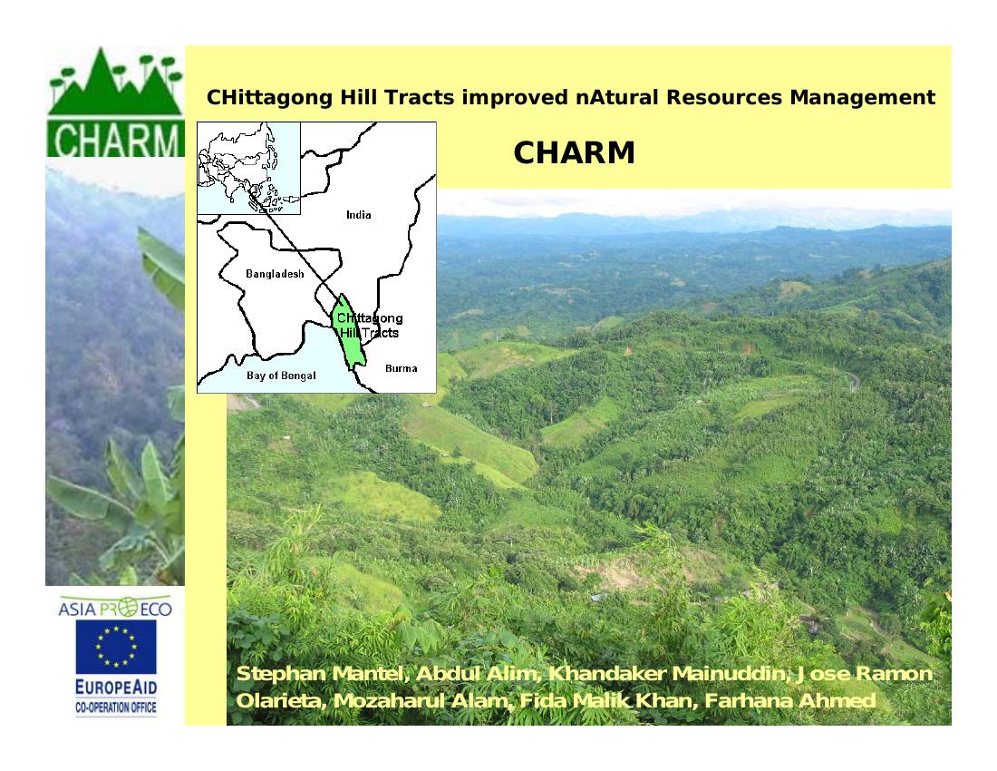
In almost all aspects the Chittagong Hill Tracts (CHT) are different to the rest of Bangladesh. Geographically the area is part of the Hindu-Kush-Himalaya region. The traditional rotational slash-and-burn farming system, known locally as jhum, is sustainable if practiced with long enough fallows, but due to increased population and scarcity of suitable land, fallow periods have shortened from 15-20 to 2-5 years. The jhum system is commonly blamed for land and forest degradation. Development in the CHT has lagged because of sustained conflict while local institutions lack the capacity to support sustainable development.
Proper planning and land management support are vital to post-conflict sustainable development. The exchange of information between generations within farmer communities and families has been an important mechanism in the development of sustainable land management systems adapted to the local environment. With the rapid increase in population pressure over past decades and the resulting scarcity of new suitable land, knowledge systems are only partially appropriate and new methods have to be tried. Conventional technical options for soil and water management often prove unsuitable in the complex environment of farm households that have to satisfy multiple goals and are often driven by short-term survival. Even proven soil and water conservation techniques are not widely adopted, most often because they are not known. Indigenous knowledge is still barely exploited in the development and dissemination of technology. Often there is little or no local involvement of women or policy makers, so initiatives often run into policy-related constraints.
This research is part of a project aimed at institutional capacity building and provision of an improved information basis for decision making in natural resources management. The research and implementation has five main activities:
- Environmental diagnostic survey of the CHT;
- Inventory of stakeholder requirements for improved planning;
- Inventory of land management practices and sustainable alternatives;
- Development of data documentation and dissemination tools;
- Pilot study on improved land use and management planning.
1) An environmental diagnostic survey was performed to quantify the status of the CHT environment. The pressures on the environment and the underlying causative factors and processes are assessed. Biomass change has been studied through analysis of remotely-sensed information, supported by field verification of hotspots of biomass change. Compiled spatial data covering the whole CHT region includes biophysical information such as climate, soils, landforms, lithology, rivers, settlements, and land cover.
2) A review was made of stakeholders’ roles in natural resource management planning, and of the environmental regulations and controls and the planning process in land management. An inventory was made of decision making in land management, and of the need for information. Field surveys included: 450 household questionnaire surveys, 38 focus group discussions, six sub-district level (upazilla) meetings and three district level consultation meetings.
3) A field survey was made of natural resource management methods, their social and economic prerequisites, and the biophysical environments under which each method has been successful or unsuccessful. Forty randomly chosen farmers were surveyed in villages with traditional land uses (jhum, plain-land and fringe-land agriculture) across the three CHT districts. Innovative farmers trying new crops and methods were specifically targeted.
4) Information from various sources, including the spatial information from the environmental diagnostic survey and land management technologies and approaches, will be linked. An information system will be tested by stakeholders and adapted based on their feedback. The information system links scientific information to people (in networks) and documents local knowledge. In this way the experience of others in the same or similar environments and conditions can be used to support farmer innovation in coping with new or changed conditions.
5) A methodology is tested in a pilot area for designing a natural resource management or land-use plan in a participatory way. The main sub-district of Bandarban, Bandaraban Sadar, was selected for the pilot study after comprehensive discussion with various agencies and institutions. The sequence of actions is: a) data collection and survey, b) organization workshop at union level (clustered villages, the lowest administrative unit in Bangladesh); c) sub-district workshop, d) preparation of draft land-use plan of the pilot study area.
Farms that obtain most of their income from farm produce own and use less land than those that obtain a higher proportion of their income from outside the farm. The land-use types recorded have been grouped in four major types: ploughland, fringeland, jhum, horticulture (fruit garden), and wood plantation. Ploughland (land in valley bottoms, seasonally flooded) is used mostly for paddy, vegetables and sugarcane. Ploughland is managed with external inputs such as fertilizers and pesticides. Jhum is practiced on a mean cycle of one year cropping and four to five years of fallow. The longest fallow recorded is seven years, while in cases of ginger production there is no fallow period. Here, use of external inputs is less frequent than in ploughland. Horticulture does not appear to be a widely accepted land use alternative. Soil erosion is extreme in some of the monospecific plantations of teak and gamari, and the literature shows rates of erosion even higher than in jhum plots. These monospecific plantations are therefore not a sustainable ‘alternative fallow’. From research that includes the questionnaires and workshops, the following information needs have been identified for improved natural resource management by different stakeholder groups: Environmental information such as land types, soil quality, and (ground) water; Methods and knowledge of traditional cultivation systems; New management technologies and approaches for agriculture, forestry, and fisheries; Cadastral information such as land ownership, land use, and land size; Sources of financial support; Improved seeds/fertilizer/seed preservation/storing; Crop productivity by land categories. Stakeholders have expressed a need for practical information at both local and policy level. It was recommended that local institutional capacity for natural resource management, including the compilation and maintenance of data, be improved. The Chittagong Hill Tracts lack regional cross-sectoral planning that stimulates sustainable development and proper resource utilization by local land-user groups. Strengthening of customary laws and integration with the formal decision-making process could improve land resource management planning. A natural resource management plan will be developed in a pilot area with relevant stakeholders. The participatory pilot study provides a basis for a regional learning network that will use the knowledge base and methodology, and support its continuing development. A regional implementation strategy will be written based on the pilot study experiences and results.